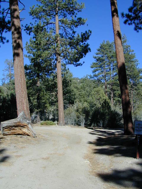
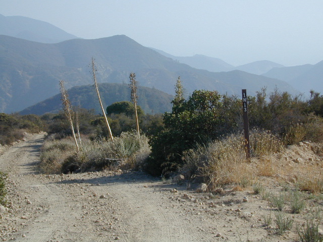
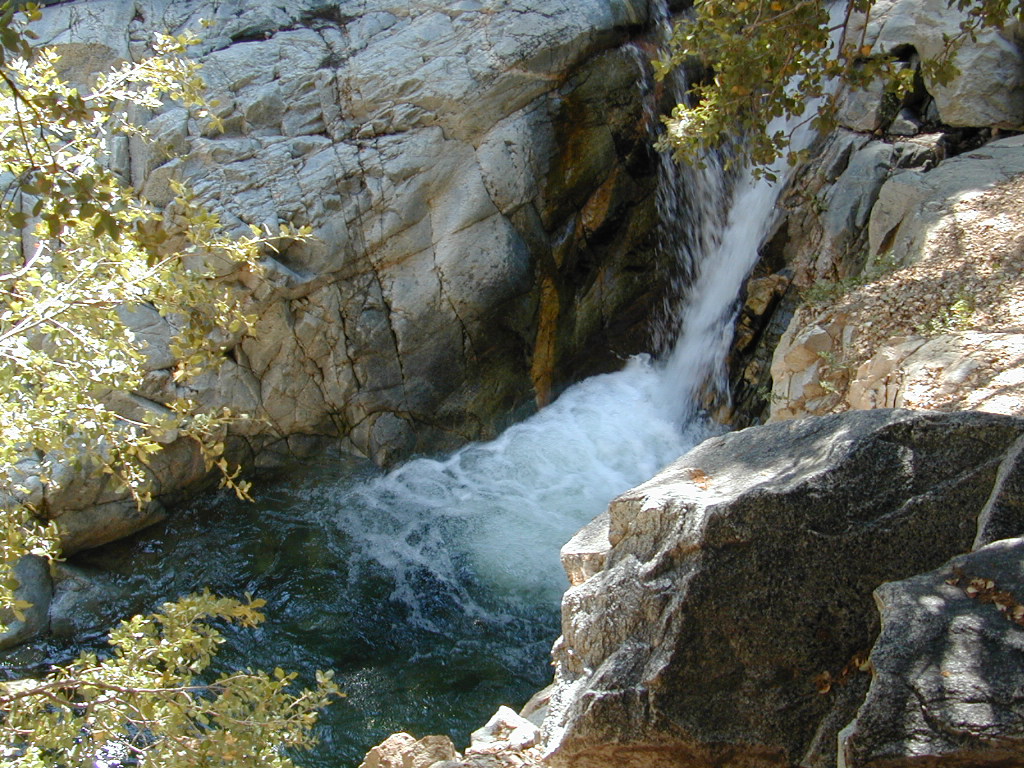
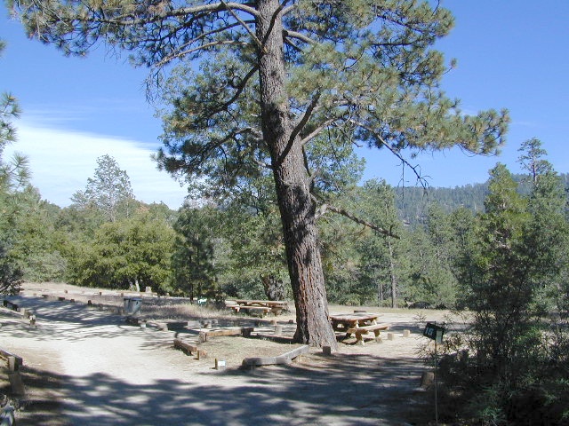
Big Bear Maps:
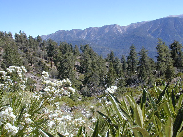
San Gorgonio Wilderness
San Gorgonio Trail Map
 Tom Harrison Maps

Mount San Gorgonio Maps, San Gorgonio Trail Map. Tom Harrison Trail Map: Big Bear Hiking, San Gorgonio Wilderness CA; Mount San Gorgonio; Old Gray Back, Grayback, Greyback, Big Bear Area: Durable, waterproof plastic map; Folded. Map Scale: 48K; ISBN# 9781877689529
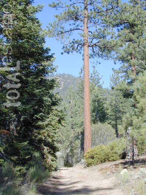
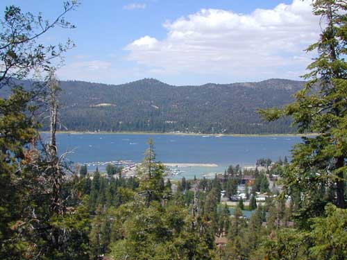
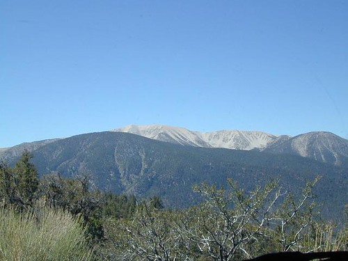
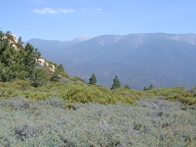
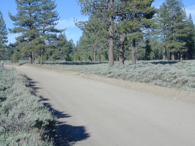
San Gorgonio Wilderness Map, Backpacking Big Bear, Hiking, Hike Gorgonio, Topo Gorgonio, Mount San Gorgonio; Old Gray Back, Grayback, Greyback, Big Bear Area
![]()
Mount San Gorgonio Maps
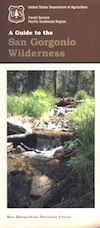
USDA, waterproof topographic map of San Gorgonio Wilderness in the San Bernardino National Forest. Big Bear hikes, camping, backpacking. Heartbar Campground, Forest Falls, Gorgonio trailheads, Southern California hiking. Waterproof plastic. Updated 2010. ISBN# 9781593514945


see also –
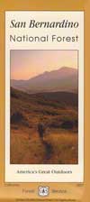
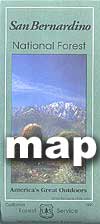
San Bernardino National Forest Map
San Bernardino Forest Atlas
San Bernardino Mountains
Angeles Maps
San Gabriel Mountains Map


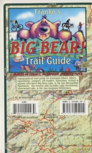


 Big Bear Maps / Idyllwild Maps