Bishop Pass Map

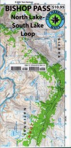
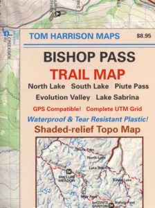
Bishop Pass Topo Map

Bishop Hiking Eastern Sierra

  • North Lake – 9500′ elev
  • Piute Pass – 11,423′
  • Lake Sabrina – 9132′
  • South Lake – 9755′

Bishop Pass Trail Map
Tom Harrison

Bishop, CA – located along US Hwy 395 is a hub for travelers and locals alike, in the high desert valley next to the Eastern Sierra range.

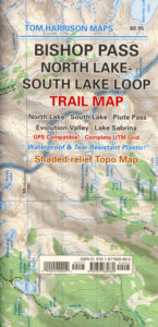
Tom Harrison Trail Map: Bishop Pass Maps, Backpacking Bishop CA; North Lake & South Lake Loop, Evolution Valley. PCT, John Muir Wilderness, LeConte Divide, Inyo National Forest, Inyo High Country, Sierra High Country; Sierra Nevada Passes; Hiking near Mount Whitney Backpacking Trip, california sierra camping; Durable, waterproof plastic map; Folded. Map Scale: 48K; ISBN# 9781877689680

avenza mapsdownload digital version of this map –
Bishop Pass Hiking Map

Bishop Pass Map

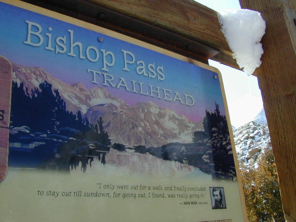
Bishop Pass @ 11,972′ elevation is a high mountain pass in the southern Sierra Nevada, California, on the border of the Inyo National Forest. John Muir Wilderness is located to the north and Kings Canyon National Park to the south. The Bishop Pass

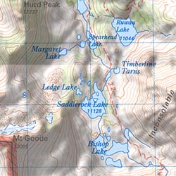
Connecting the Bishop Creek valley with the John Muir Trail & Pacific Crest Trail. Bishop Pass is located west of Mount Agassiz, surrounded by multiple alpine lakes in the Dusy Basin and the Bishop Lake basin.
Bishop Pass Map

High Sierra backcountry access to –

Bishop Pass Map

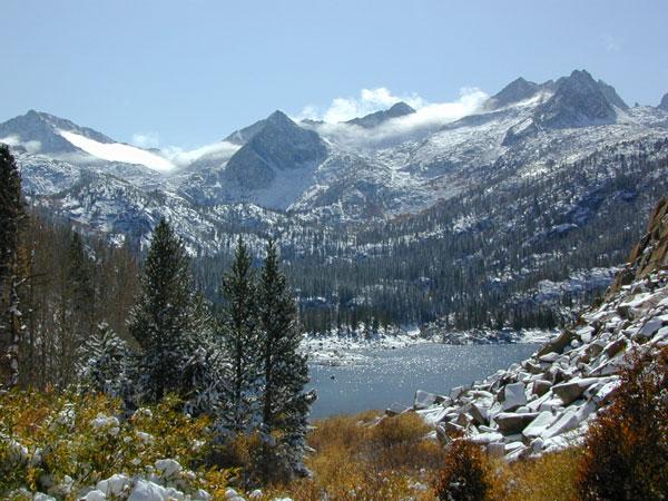
South Lake, above Bishop, California

see also –

Bishop Pass Map

previous edition

Bishop Pass Map

Piute Pass Hiking

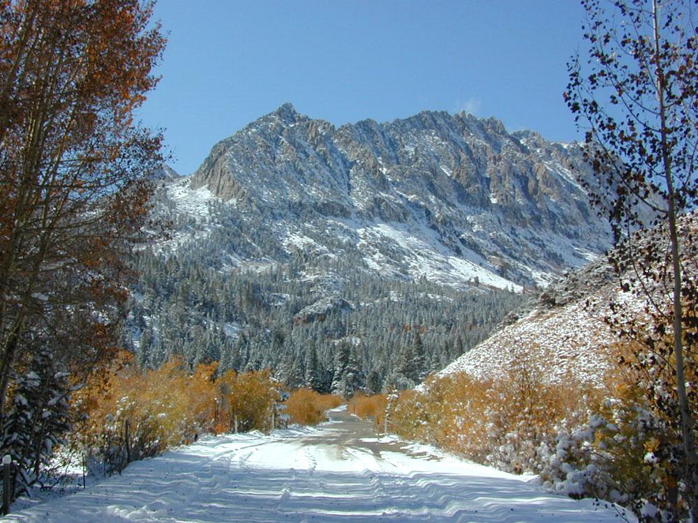
Piute Pass & Piute Crags near North Lake
Bishop Pass Map

OLDER EDITION

Big Sur Books

California Central Coast:
Big Sur

Big Sur Books

Find Maps on Big Sur, California:

Big Sur Books

Big Sur Books

Books on the Big Sur Coast & Mountains

Backpacking Book

Big Sur Canyon Hikes

Kayak Big Sur Coast

Nepenthe Book

Biking Big Sur Coast

Day Hikes Big Sur

Big Sur Books

History of Big Sur

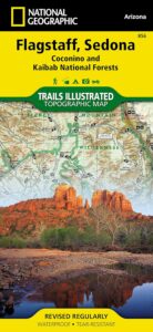
Flagstaff Sedona Map

NatGeo Trails Illustrated
Flagstaff Sedona Map #856

NatGeo AZ map

Sedona Camping & Hiking Trails
Flagstaff Arizona, Sedona, AZ Hikes, Campgrounds

Map covers Coconino National Forest, Kaibab National Forest, South Rim Grand Canyon, Kachina Peaks, Kendrick Mountain, Strawberry Crater Wilderness Area, San Francisco Peaks, Arizona Trail, Game Management Units, Cinder Hills OHV Area. GPS Compatible, Full UTM Grid. National Geographic, Waterproof Plastic Map, ISBN# 9781566955157

Flagstaff Sedona MapSedona Map of Arizona, Northern Arizona Tourism, Arizona Maps, Flagstaff AZ, Flagstaff Hiking, Camping North AZ
Flagstaff Sedona Map

Trail Map Flagstaff

see also – 

Grand Canyon Maps
Mojave National Preserve Map

Red Rock Canyon Vegas
Lake Mead NRA Map
Anza Borrego Desert Map
San Diego Backcountry Maps

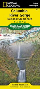
Columbia River Map

Columbia River Gorge

On the border between Oregon and Washington state, this huge river gorge is a recreation paradise. Fishing, camping, kayaking, wind surfing, hiking and much more.

Columbia River Gorge National Scenic Area

USDA Columbia River
Columbia River Map NFS

Columbia River Camping, Oregon Hikes, Columbia River Gorge Campgrounds

Recreation Map Oregon Washington. Topographic Map. Pacific Northwest Recreation, Outside in Oregon, Columbia River National Scenic Area, Maps, Mount Hood National Forest, Gifford Pinchot National Forest

On the borders of southern Washington state and the north boundary of Oregon lies the Columbia River Gorge, which cuts through the Cascade Mountain Range, and is the deepest, spectacular river canyon on the entire west coast. 80 miles long and 4,000′ deep. Bird watching, boating, camping, fishing, hiking, mountain biking, picnicking, rock climbing, windsurfing, wildflowers. Waterfalls in Oregon. Multnomah Falls is the second highest in the United States.

Map Scale: 1 inch = 1 mile; BLM & USDA. Printed in 2007 on waterproof plastic. This map can also be found at USFS Ranger Stations.

Columbia River Map

National Geographic has a full color map for this region

Columbia River Gorge NSA
Map #821

Columbia River Map

Mt Hood OR

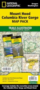
Mount Hood Map, Columbia River Gorge
MAP PACK (2 map set)
National Geographic – Trails Illustrated Map