Mount Whitney Hiking Maps

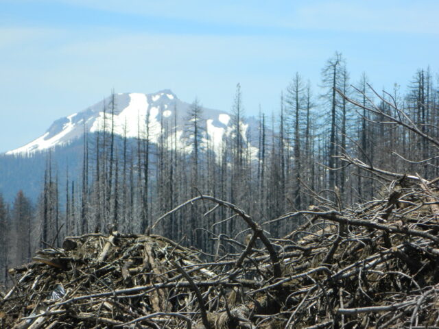
Mount Whitney Hiking MapsThe tallest mountain peak in the lower 48 means that this region is a super popular destination with avid hikers, mountaineers and backpackers alike. Physical fitness must be top priority in training for this ultimate bucket list choice.

Usually only accessible about half the year, due to snow (NOV-MAY) and permits are required. To obtain a wilderness hiking permit, you must get chosen from a lottery months in advance. No joke!

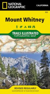
Mount Whitney Map

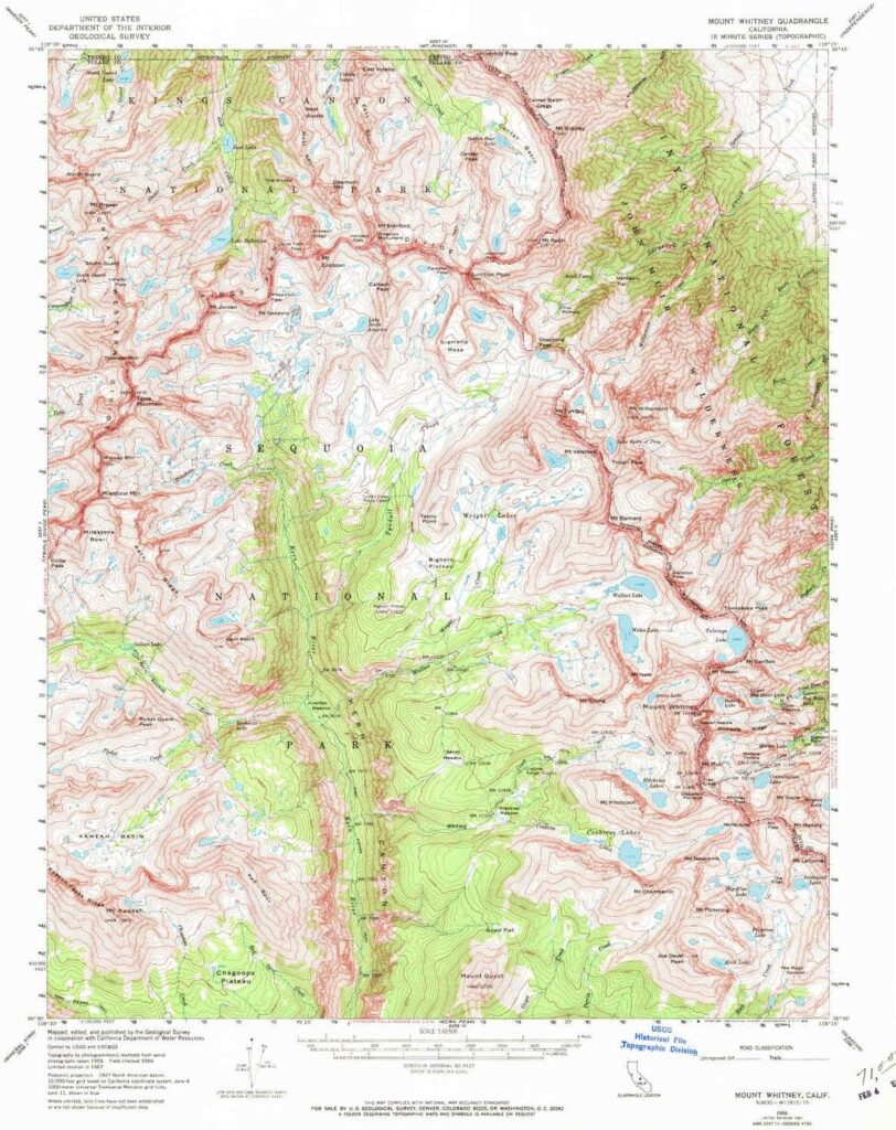
Mt Whitney Topo
by NatGeo Trails Illustrated

Mount Whitney High Country Map
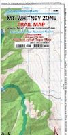
Mount Whitney Zone Map

both Topographic Maps by Tom Harrison (listed below)
Mount Whitney Hiking Maps

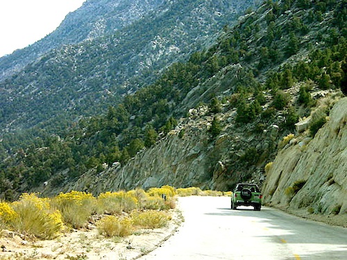
Whitney Portal Road

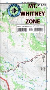
Mount Whitney Zone
Tom Harrison
Whitney Zone Map

Mount Whitney Hiking Maps

OLDER VERSION

Mount Whitney Map, Whitney Portal. Topo Trail. Mt Whitney maps. Tom Harrison Trail Map: Mount Whitney Zone Trail Map, Lone Pine, CA; Areas include: Whitney Portal, Crabtree, Cottonwood Lakes, Rock Creek. Whitney Portal Trailheads, Outpost Camp, Trail Camp, Whitney Summit, Mountaineer’s Route, High Sierra Trail, Crescent Meadow, and the John Muir Trail Junction.

Durable, waterproof plastic map; Folded. Map Scale: 31.7K; ISBN# 9781877689697

digital mapsdownload digital version of this map
Mount Whitney Zone Map
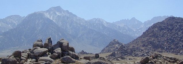
Mount Whitney Hiking Maps

hiker

Mount Whitney Hiking Maps

Mount Whitney High Country Map
Tom Harrison
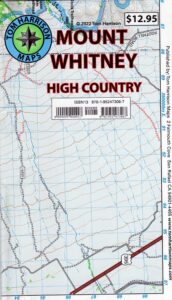
Whitney High Country

Mount Whitney High Country Map, Whitney trail map, Topo trails. Tom Harrison Trail Map: Mount Whitney High Country, with Lone Pine California. Pear Lake, Lodgepole, Mineral King, Mt. Whitney Peak, Kern Canyon, Ash Mountain, Whitney Portal, Little Five Lakes, Bearpaw Meadow, Triple Divide Peak, Cottonwoods Lakes, Horseshoe Meadow. Eastern Sierra, High Sierra Backpacking, Mount Whitney Map, Hike, Inyo National Forest, Eastern Sierra, Mount Whitney Map by Tom Harrison, Hike, Inyo National Forest, Eastern Sierra Hikes, Mt Whitney California Topo, Waterproof, Topographic Maps California, Sierra Whitney Hike, High Country Trails, California Sierra Mountains Durable, waterproof plastic map; Folded. Map Scale: 63K; ISBN# 9781877689512

avenza mapsdownload digital version of this map
Mt. Whitney High Country Map
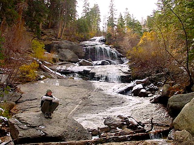
WhitneyFalls

additional
MT. WHITNEY MAPS

Mount Whitney Booklet

Mount Whitney to Bishop Trail Map

Whitney Topo Map

see also –
NatGeo Mount Whitney Map
Big Sur Maps

Big Sur Coast, California

Several hiking maps exist for this epic Central Coast region of California
Los Padres NF, Ventana, Gorda, Lucia, Limekiln State Park, Big Sur, CA

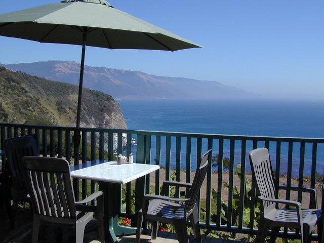
Lucia Patio

Patio @ Lucia, South Big Sur Coast (burned down recently)

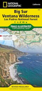
NatGeo Big Sur Map #814

Big Sur Coast Map

National Geographic Trails Illustrated Topo Map for Big Sur NatGeo
Central Coast Maps, Big Sur Coast, California Big Sur

Big Sur, California Central Coast Map w/ Ventana Wilderness and Los Padres National Forest. Trails Illustrated Map #814 by NatGeo. Silver Peak Wilderness, California Coastal State Parks, Monterey County Parks, PInnacles National Monument. All trails, trailheads, campgrounds, rivers, creeks, forests and parks between Monterey and San Simeon.

Big Sur Ventana

OLD EDITION

Andrew Molera State Park, Pfeiffer Big Sur State Park, Big Sur National Wild River, Mill Creek Redwood Preserve, Palo Corona Regional Park, Glendeven Ranch, Joshua Creek Canyon Ecological Preserve, Garrata State Park, Point Lobos Ranch, Point Lobos State Reserve, Carmel River State Beach, Asilomar State Beach, Fort Ord Dunes State Park, Toro Regional Park, Garland Ranch Regional Park, Cachagua Community Park, Miller Canyon, Bottchers Gap Campground, Tassajara, Arroyo Seco, Gabilan Range, Salinas River, Sierra de Salinas, Julia Pfeiffer Burns State Park, Monterey Bay National Marine Sanctuary, Limekiln State Park, Alder Creek Campground, John Little State Reserve, Slate Hot Springs, Santa Lucia Range, Cone Peak Gradient, Sand Dollar Beach, Jade Cove Big Sur Coast, Fort Hunter Liggett Military Base, San Antonio Pedira, Nacimiento Road, Nacimiento-Fergusson, Salmon Creek Road, Silver Peak Wilderness, Los Burros Road, Willow Creek, Plaskett Creek Campground, Coastal Highway 1 and US Route 101 on Central Coast California.

Printed on waterproof plastic in 2012. ISBN# 9781566955782

avenza mapsget a digital version of this map
NatGeo Map 814 – Big Sur Map

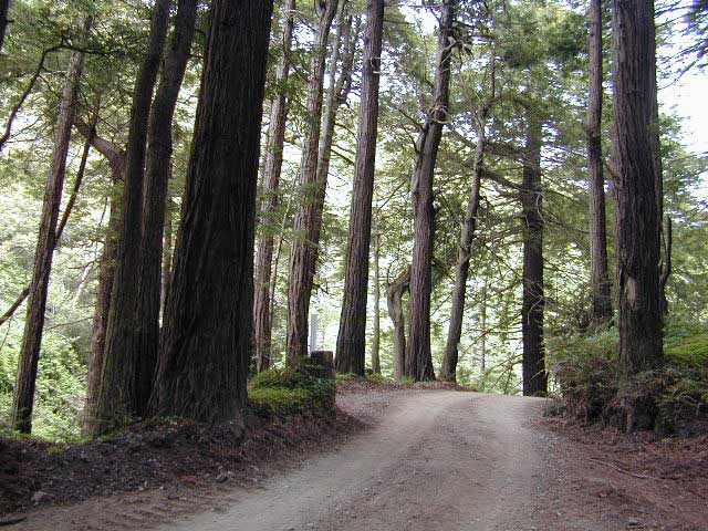
Redwoods Inland

This Central California Coastal region covers the north end of Los Padres National Forest, Ventana and Silver Peak Wilderness, Pinnacles National Monument, much of Fort Hunter Liggett, plus nearby State Parks – Andrew Molera State Park, Garrapata State Park, Julia Pfeiffer Burns State Park, Pfeiffer Big Sur State Park, Point Sur State Historic Park, Limekiln State Park, Point Lobos State Reserve & California Sea Otter Game Refuge.

Wilderness Press Map Big Sur

Topo Map

This recreation map for the California Central Coast includes all of the Big Sur coastline with Ventana & Silver Peak Wilderness.

avenzabar

digital maps for download

USFS Topo Map – Big Sur California
USFS Topo Map – Los Padres NF, Big Sur Visitor Map
USFS Topo Map – Tassajara Hot Springs
Redwood Hikes Press Map – Andrew Molera State Park
USGS Topo Map – Big Sur, CA (free)
USGS Topo Map – Cone Peak (free)
USGS Topo Map – Ventana Cones (free)
USGS Topo Map – Monterey, CA (free)
USGS Topo Map – Carmel Valley, CA (free)
USGS Topo Map – Partington Ridge (free)

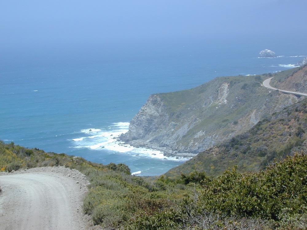
big sur dirt roads

beaches, forest, state parks & wilderness areas along this coastline:
Andrew Molera State Park
Julia Pfeiffer Burns State Park
Limekiln State Park
Los Padres National Forest
Pfeiffer Beach
Pfeiffer Big Sur State Park
Sand Dollar Beach
Silver Peak Wilderness
Ventana Wilderness

nearby towns:

back roads

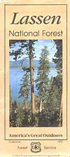
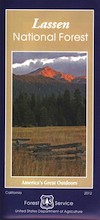
Lassen National Forest Map

Lassen NF Map USDA

USDA Lassen Map

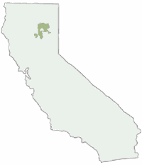
lassen mapsLassen National Forest Map includes all of Lassen Volcanic National Park too.
NFS – USDA – U.S. Forest Service – USGS

Lassen National Forest
Lassen National Park
Lassen Camping

Lassen National Forest Map: Lassen National Forest surrounds Lassen Volcanic National Park. Quality USDA maps, National Forest Service. Lassen National Park, Lake Almanor, Susanville, Fall River Mills, Burney Falls, Juniper Lake, Drakesbad Ranch, Bucks Lake Wilderness Ranger Map – NFS issued map. GPS: Longitude & Latitude; Rivers, Creeks, Peaks, Elevations, 4WD and every dirt BackRoad, Hot Springs, Equestrian Areas, all Campgrounds, Hiking Trails and BackPacking Trailheads.

Areas include: Northern California, Butte County, Tehama County, Shasta County, Plumas County, Lassen County, Burney, Ahjumawi Lava Springs State Park, Thousand Lakes Wilderness, Manzanita Lake, Mineral, Shingletown, Ponderosa Sky Ranch, Hwy. 89, Hwy. 36, Lassen Volcanic Peak, Stover Mountain, as well as the Feather River.

Lassen National Forest

PREVIOUS VERSION

Lassen National Forest Maps

Lassen Map USDA

OLDER VERSION

Lassen National Forest Map

REALLY OLD EDITION

Lassen National Forest Map

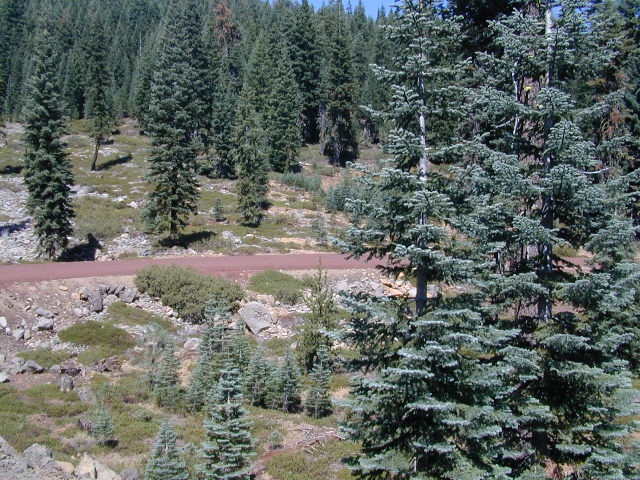
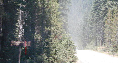
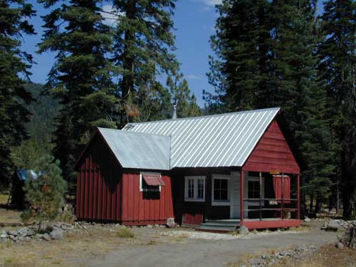
Many graded dirt roads lead out to trailheads, secluded lakes, hidden campsites.

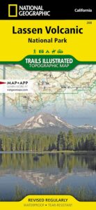
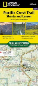
As of 2019, National Geographic also makes a waterproof map for the Lassen Peak region. Over 150 miles of trails including 17 miles of the Pacific Crest Trail and a portion of the California National Historic Trail are clearly marked and include approximate mileage between intersections and trail use designations. A chart of campgrounds, their elevations, the number of sites, and the facilities available at each will help you choose the one that’s right for you.

NatGeo Lassen MapNATGEO MAP: Interpretive information regarding the area’s unique geology and descriptions of the important hydrothermal areas are also included. The map base shows contour lines and elevations for summits, passes and many lakes. A variety of recreation features are noted as well, including campgrounds, trailheads, picnic areas, boat launches, cabins, and scenic viewpoints.

Lassen National Forest Maps

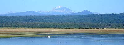
Lassen Peak from Lake Almanor

Mount Lassen Area Digital Maps

digital maps

apps/maps:
download digital topos & maps

California Deer Hunting Zone C4 Map
California Deer Hunting Zone X4 Map
California Deer Hunting Zone X5b Map
Chester California Topo Map USGS (free)
Childs Meadows Topo Map USGS (free)
Fredonyer Pass Topo Map USGS (free)
Hat Creek Headwaters Trail Map (free)
Lassen National Forest Visitor Map USFS
Lassen Volcanic National Park NPS Map (free)
Lassen MVUM – OHV Map 1b (free)
Lassen MVUM – OHV Map 2b (free)
Lassen MVUM – OHV Map 3a (free)
Lassen MVUM – OHV Map 3b (free)
Lassen Peak Topo Map USGS (free)
Lassen Peak Trail Topo Map (free)
Nat Geo 268 – Lassen Volcanic National Park Map
Susanville Ranch Park Trail Map (free)
Susanville Topographic Map USGS (free)
Westwood East, USGS Topo Map (free)
Westwood West, USGS Topo Map (free)

Remote Roads

Graded Dirt Roads

Lassen National Forest

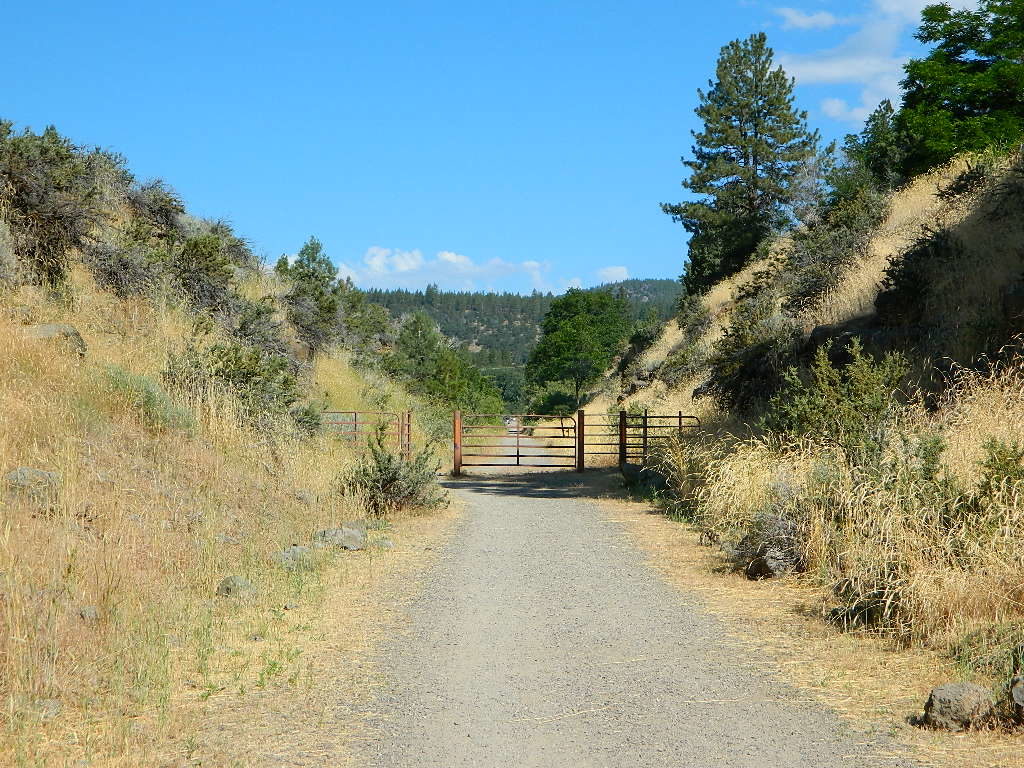
bikepath susanville

Bizz Johnson Trail, Susanville

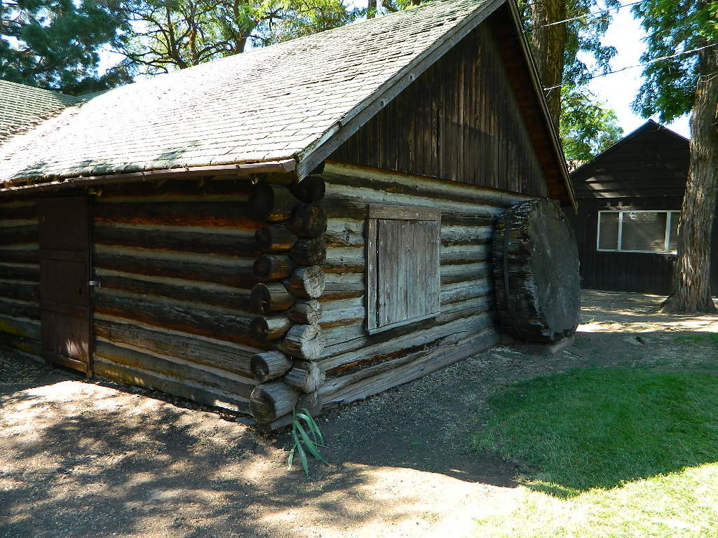
loghomehistoric

Historic Log Home: Downtown Susanville, CA

hiker

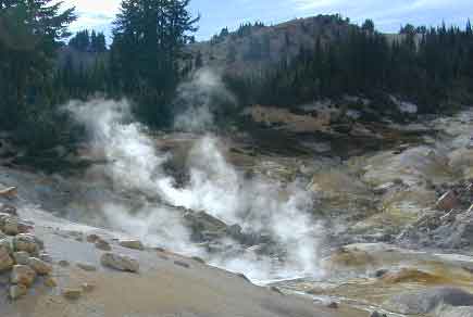
Sulfur Steam Lassen Park

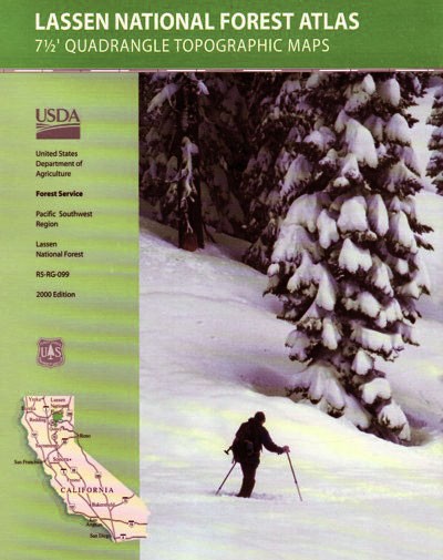
Seeking a detailed topographic maps of every square mile of Lassen territory? Then the Lassen Forest Topo Atlas is a book to discover.

lassen atlas

Lassen Topographic Atlas


Lassen National Forest Map

Eagle Lake, N of Susanville

Lassen Park Map

Mount Lassen

NatGeo Lassen Volcanic Map

Northern California:Lassen Park Map
Lassen Volcano National Park
Lassen National Forest
Lassen Lakes
Lassen Camping

National Geographic Maps are full color, waterproof plastic; 2-sided, updated regularly. Campgrounds, trailheads, all roads, rivers, creeks, lakes. Trails Illustrated, National Geographic Map #268; 4.1 x 0.3 x 9 inches; ISBN# 9781566956796

NatGeo Lassen Map

Lassen Park MapLassen National Forest surrounds Lassen Volcanic National Park. Lake Almanor, Susanville, Fall River Mills, Burney Falls, Juniper Lake, Drakesbad Ranch, Bucks Lake Wilderness NatGeo w/ GPS: Longitude & Latitude; Rivers, Creeks, Peaks, Elevations, 4WD & every dirt BackRoad, Hot Springs, Equestrian Areas, all Campgrounds, Hiking Trails & BackPacking Trailheads.

NFSLassen National Forest
NPS Lassen National Park

Lassen Park Map

Eagle Lake, Susanville, CA

Lassen Park MapAreas include: Northern California, Butte County, Tehama County, Shasta County, Plumas County, Lassen County, Burney, Ahjumawi Lava Springs State Park, Thousand Lakes Wilderness, Manzanita Lake, Mineral, Shingletown, Ponderosa Sky Ranch, Hwy. 89, Hwy. 36, Lassen Volcanic Peak, Stover Mountain, Feather River.
Lassen Park Map

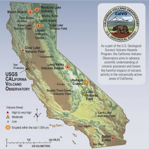
USGS Volcano California

PCT map Lassen

PCT Map Lassen

see also –
Lassen National Forest Map USDA
Lassen Forest Topo Atlas
Ishi Wilderness Map