4×4 Guide Tahoe NF

4×4 Tahoe Trail Maps
Off Roading Routes

4x4 maps4×4 Tahoe Trail Maps: Explore the 4WD (four wheel drive) dirt and gravel roads inside the Lake Tahoe region. Please follow the links listed at the bottom of this page for more Tahoe Maps.

Camping Lake Map

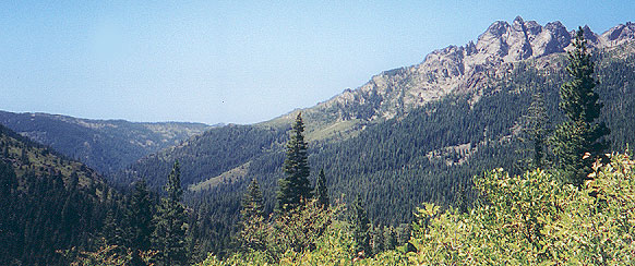
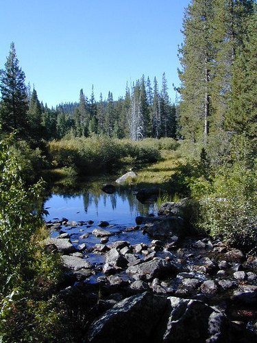
Sawmill Lake, Tahoe NF – N of Donner Pass I-80


4Wheeler’s Guide to Trails of the Tahoe National Forest, CA; Lake Tahoe to the North Yuba River

4Wheeler’s Guide to the Rubicon Trail

2024: BOTH THESE MAPS ABOVE NOW OUTTA PRINT

driftwood

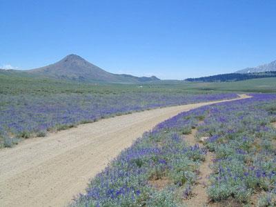
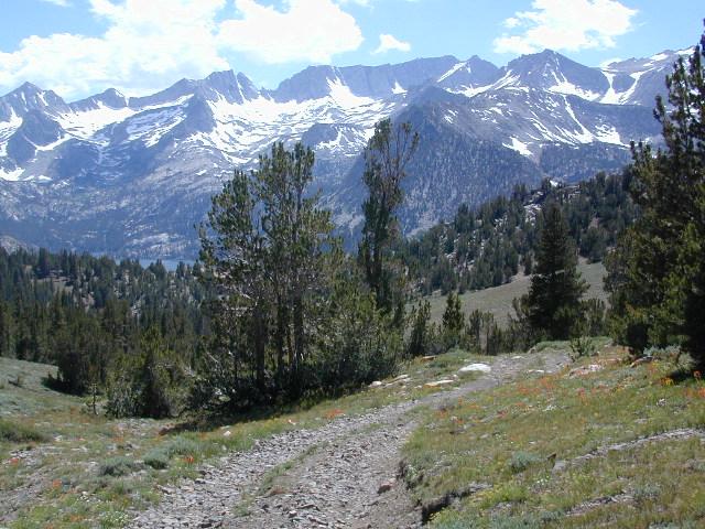
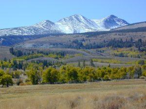
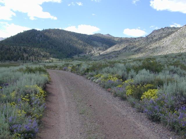
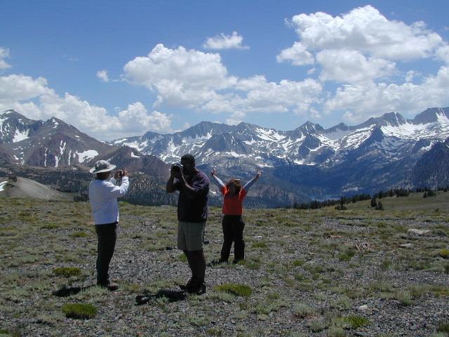
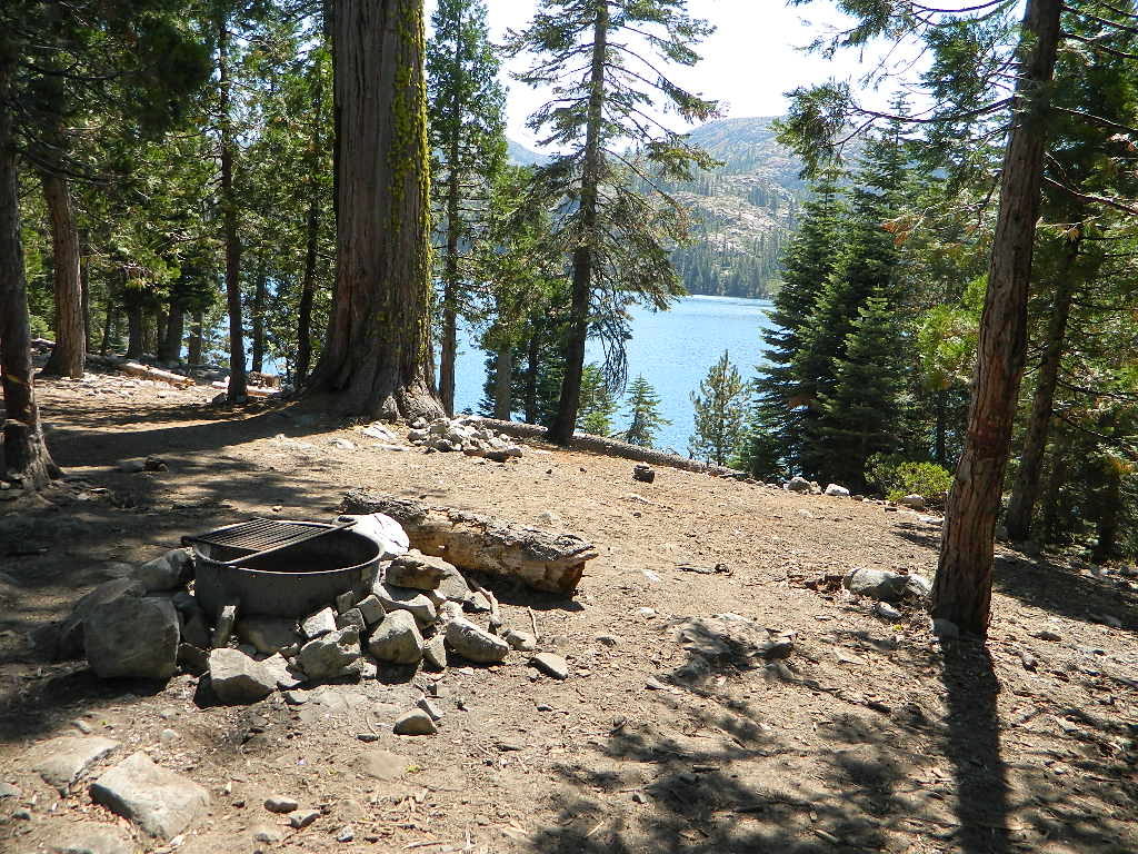
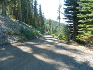
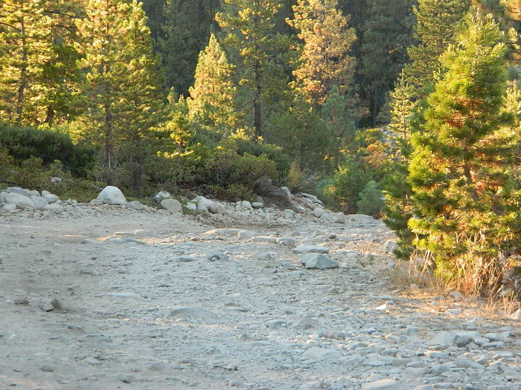
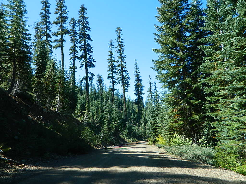
California off roading with 4×4 Tahoe Trail Maps. Topographical hard copy maps show contour lines, routes, trailheads, campgrounds, alpine lakes, mountain peaks, wilderness boundaries.  Maps for use by nomad campers, mountain bikers, dirt bikers, jeeps, SUVs, ATVs, and all off roading rigs. Overland camping options in the high elevation Sierra Nevada mountains.

see also –dirt bikes trail map

Lake Tahoe Basin Topo Atlas

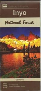
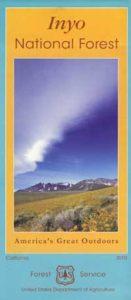
Tahoe National Forest Map USDA

Lake Tahoe Basin – Recreation @ Lake Tahoe

Tahoe Rim Trail Topo Map by Tom Harrison

USDA Lakes Basin, Sierra Buttes Map

bowman cliff shoreline

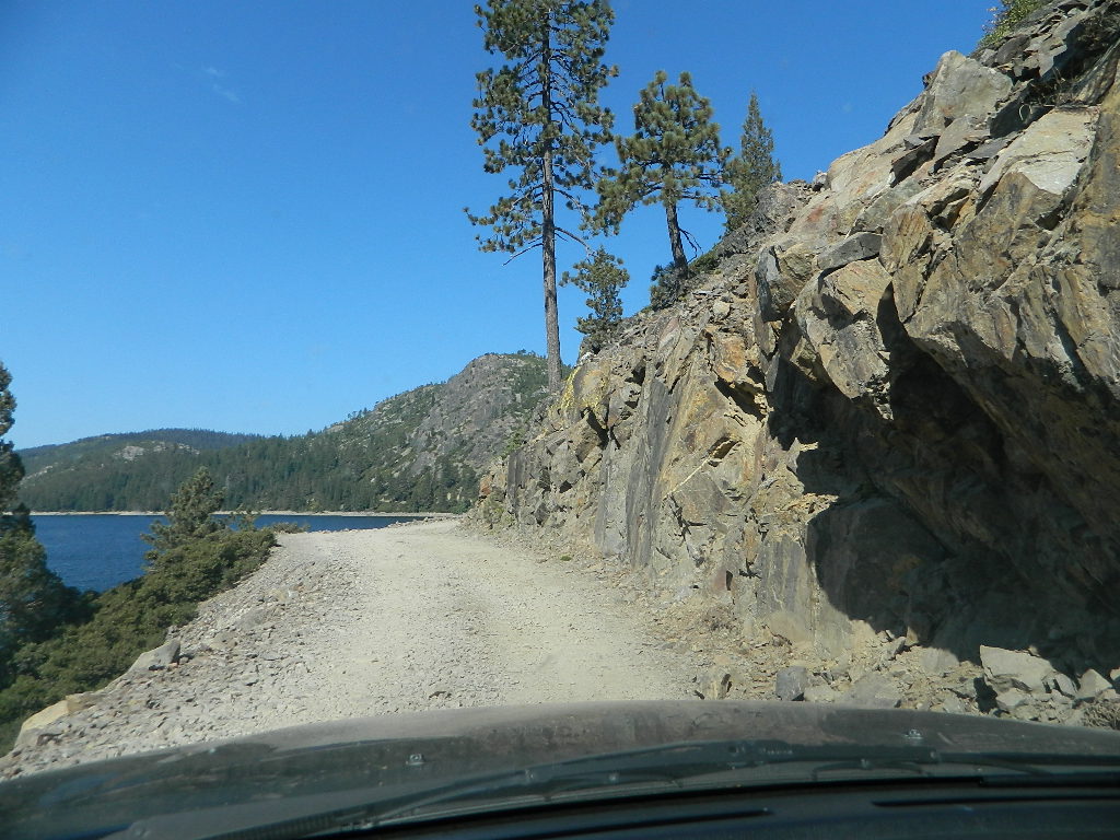
Bowman Lake, narrow cliff shoreline
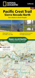
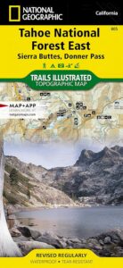
Tahoe Forest Maps
by National Geographic

Tahoe East – Sierra Buttes & Donner Passfishing maps tahoe

Tahoe West – Yuba River & American River

sierra buttes maps

Back Roads @ N Yuba, Lakes Basin

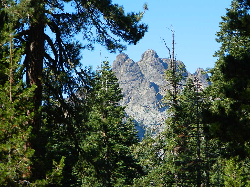
Lakes Basin Recreation Area: Sierra Buttes
GOLD LAKE HWY. North Sierra Nevada – where granite spires touch the sky and river canyons run deep. Alpine lakes are covered in snow half the year w/ Gold Lake being the largest.

Totally worth a weekend visit! Spending a full week here is ideal. Summer destination for cabins, camping, hiking, fishing, waterfalls, and even off road routes; Winter offers snow recreation: cross country ski, snow shoe trails, and snow mobile access.

forest roads map tahoe

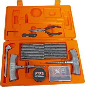
Tire Tools: roadside assistance
doesn’t do dirt roads

4x4 Patch Kit ARB

Sierra Buttes Map

Sierra Buttes Map

Sierra Buttes, Yuba River Headwaters

Sierra Buttes Map # 805 NatGeo
Tahoe National Forest

Trails Illustrated Map from National Geographic. Sierra Buttes, Donner Pass in Tahoe National Forest map #805. Lakes Basin Map, Mount Rose Wilderness, Pacific Crest Trail (PCT), Jackson Meadows, Stampede Reservoir, Truckee Backcountry Mountains, Hiking Trails, Trail Mileage. Interstate 80 California. High country map. Many roads and trails to explore. 2-sided map. Very detailed & colorful. Waterproof Plastic Map; Tear Resistant. GPS data. Scale = 1:63,360 ISBN#9781566953818

Sierra Buttes Map

Tahoe East Map

Sierra Buttes Map

OLDER VERSION

Lakes Basin Recreation Area

Sierra Buttes California 

Sierra Buttes Map

Forest Road #54 is FREE forest camping with Buttes view.

Sierra map

Sierra Buttes Map

Lakes Basin Recreation Area

Sierra Buttes Map

Lakes Basin Recreation Area Map USDA
Plumas Eureka State Park

The NFS Map & Recreation Guide covers the Sierra Buttes as well.Sierra Buttes Map

North of Gold Country, the granite spires tower above the North Yuba River. Sierraville, Sierra City and Downieville, the mountain bike mecca of the Northern Sierra Nevada. Plumas-Eureka State Park is also featured on this particular map. This region is big river and alpine lakes, stunning, beautiful high country up here, with the Lakes Basin Recreation Area (only accessible for half the year, due to snow pack).

Lakes Basin Recreation Area

Tahoe National Forest 

Sierra Buttes Map

see also –

camp mapsnearby towns:

PCT map Sierra North

Inyo National Forest Map

Inyo Map

Inyo National Forest Map

Eastern Sierra Map, Inyo Map, Mt Whitney, Bishop Wilderness
NFS – USDA – U.S. Forest Service

USDA maps created for the National Forest Service. GPS: Longitude & Latitude; Rivers, Creeks, Peaks, Elevations, 4WD & every dirt BackRoad, Hot Springs, Equestrian Areas, all Campgrounds, Hiking Trails & Backpacking Trailheads.NFS

Areas include: Eastern Sierra, Range of Light, Owens Valley, Hwy. 395, Bishop, Lone Pine, Lee Vining, Independence, Mammoth, June Lake, East Yosemite, Mount Whitney, Mono Basin, White Mtns, Ancient Bristlecone Pine Forest, Monache Mdws, Golden Trout Wilderness, Cottonwood Lakes, Sierra Lakes, Mono Lake, John Muir Trail & JM Wilderness, Ansel Adams Wilderness, Lake Crowley, Hot Springs, Rock Creek, Inyo Mtns, Kennedy Mdws, South Sierra Wilderness.

inyoinyoNF

inyo2002

older version

INYO_mountains

paper map from 1993


gull_lake

Gull Lake, next to June Lake in the Eastern Sierra

giganta
Eastern Sierra California
Inyo National Forest

Wilderness Areas in Eastern California:

White Mountains
Ancient Bristlecone Pines
John Muir Wilderness
Ansel Adams Wilderness
Hoover Wilderness
Yosemite EAST Wilderness
Fish Slough, N Bishop, CA
Piper Mountain Wildernesshiker
Kings Canyon High Country
Golden Trout Wilderness
South Sierra Wilderness
Inyo Mountains Wilderness

Inyo Hiking, off road, 4×4, Eastern Sierra, Mount Whitney, John Muir, Ansel Adams, Sierra Lakes, Inyo National Forest Topo Maps, Topographical Inyo Map, Eastern Sierra, Olancha Peak, Lone Pine, Alabama Hills, Whitney, Mammoth, June Lake, Rock Creek, Lee Vining, Bishop, Baker Creek, Sabrina, Palisades Glacier, Onion Valley, Independence, Coyote Flat, High Sierra Lakes, Eastern California

walkerlake

Hike-in only, Walker Lake @ June Lake Loop

see also –Inyo Forest Topo Atlas
inyotopoatlaa

find more Eastern Sierra maps:

Ansel Adams Wilderness Maps
Bishop Pass Map
Bodie Ghost Town Map
Death Valley Park Maps
Devil’s Postpile Map
Dome Land Wilderness Map
Golden Trout Wilderness Maps
Hoover Wilderness Map
Jawbone Canyon OHV Map
JMT – John Muir Trail Map
Kern River Maps
Kings Canyon Highcountry Map
Mammoth High Country Map
Mono Divide Topo Map
Mono Lake Map
Mount Whitney Maps
NatGeo Mammoth Map #809
Palisades Trail Map
Toiyabe National Forest Map

Pacific Crest Trail Mapspct
PCT Map #3 South Sierra
PCT Map #4 Mid Sierra

EASTERN SIERRA LINKS:

Campgrounds Eastern Sierra
Camping Inyo
Eastern Sierra Hiking
Eastern Sierra Lakes
Inyo Forest Roads
June Lake Loop #1S63
Lundy Lake
Mammoth Fishing
Mono Lake, California
Onion Valley
Rock Creek Road
Silver Lake @ June
Walker Creek Olancha
Walker Lake Hike

lupineway

Lupine Way – Coyote Flat, W of Bishop, CA

NEARBY TOWNS:

highsierra SUV

The High Sierra @ 10,000′ elevation, by SUV

avenzabar

digital maps for download

BLM Map – Alabama Hills Recreation Area (free)
Mammoth Mountain Topographic Map
NatGeo Map 809 – Mammoth Lakes, Mono Divide
Convict Lake Topographic Map
CTUC Inyo National Forest (north) OHV Map
CTUC Inyo NF (south) OHV Map
Inyo MVUM – Monache Mdws, South Fork Kern River (free)
Inyo MVUM – Inyo Mountains Map (free)
Inyo MVUM – Bald Mountain Mono (free)
Inyo MVUM – White Mountains Map (free)
Inyo MVUM – Glass Mountain Map (free)

inyohighroads

Upper Baker Creek Road, 4×4 Camping

Inyo Forest Topo Atlas

High Sierra Topo Map
Eastern Sierra Nevada, California

Inyo National Forest Atlas

Inyo topo atlas

fishing mapThe INYO atlas, is a spiral bound book – a collection of all the quads. (7.5 minute topographical maps, of all of Inyo National Forest) Both sides of US Highway 395! From Olancha to Yosemite, Bodie ghost town to Darwin near Death Valley. This book map has detailed topo lines, mountain peaks, streams, lakes, hot springs, hiking trails & back roads. Perfect for all kinds of recreational needs. 117 pages. Printed in 2014. ISBN# 9781628114058

south_lake

South Lake near Bishop CA

see also –

Inyo National Forest Map
Mount Whitney Maps
Death Valley Maps
Bishop Pass Map
Palisades Trail Map
Mammoth Highcountry Map
Mammoth Mono Trail Map
Ansel Adams Wilderness Map
John Muir Wilderness Map
Fishing Maps for California

regional towns:inyo topo map

Inyo National Forest NFS

cottonwoodcampsite
Cottonwood Lakes and Horseshoe Meadow, an alternate hiking approach to Mount Whitney

hikers map

dunderberg

Inyo National Forest QUADS:
from south to northhorse trail maps

Inyo back roads Maps

Inyo back roads, 4×4 routes and hiking trailheads

Inyo National Forest Topo Maps, Topographical Inyo Map, Eastern Sierra, Olancha Peak, Lone Pine, Alabama Hills, Whitney, Mammoth, June Lake, Rock Creek, Lee Vining, Bishop, Sabrina, Palisades Glacier, Onion Valley, Independence, Coyote Flat Lake

Inyo Forest Topo Maps