San Diego Backcountry Map

San Diego Backcountry Map

San Diego Desert Mao

TH SD topo map

OLDER EDITION

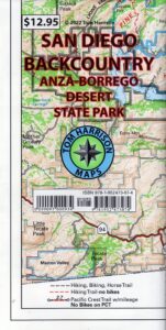
Topographic Maps by Tom Harrison: San Diego Deserts, Anza Borrego Desert. The #1 top selling map for the San Diego deserts!

San Diego Backcountry Recreation Map covers the entire Anza Borrego Desert State Park, the largest State Park in California & some portions of Cleveland National Forest; San Diego County Road S-2, S-22, Interstate 8, Highway 78 & Highway 94 to Tecate Mexico.

Areas surrounding Borrego Springs, Anza Borrego Park map, Julian & Warner Springs. PCT access (Pacific Crest Trail) plus Table Mountain, Sheep Canyon, OHV Deserts Ocotillo Wells SVRA, McCain Valley Camping, Carrizo Gorge Trestle Hike, Jacumba Hot Springs, Tierra del Sol 4×4 Trails, San Diego Lake Morena, Barrett Lake, Campo CA Potrero Regional Park, Agua Caliente Hot Springs, Vallecito, Carrizo Goat Trestle & Canyon sin Nombre Badlands.

digital mapsget a digital version of this map
San Diego Backcountry Map
by Tom Harrison

Recreation Map by Tom Harrison. Durable, waterproof plastic map; Folded. Map Scale: 125K; ISBN# 9781877689543

San Diego Desert Map

Borrego Desert is known best for Spring wildflowers (FEB-APRIL)

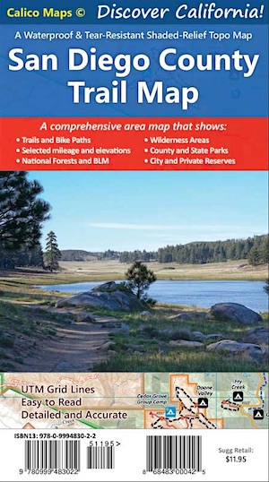
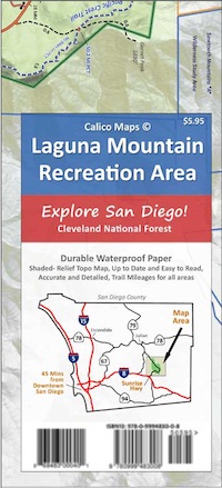
Two New San Diego Maps by Calico

San Diego County Trail Map

San Diego County Trail Map

Mount Laguna Map

Mount Laguna Trail Map

see also –
Cleveland National Forest Map 
Cleveland Forest Topo Atlas
Wilderness Press Map of Anza Borrego Desert

camp map

more exploring Anza Borrego:

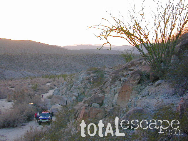
Anza 4×4 Trails
Agua Caliente Hot Springs
Canon Sin Nombre Slot Canyons
Carrizo Gorge Goat Trestle
Culp Valley Camping
Great Overland Stagecoach Route of 1849
Mason Valley Truck Trail
Old Kane Springs Road
Split Mountain
Vallecito

Split Mountain Borrego

Split Mountain, Anza Borrego State Park, Southern California

4x4 maps

download digital maps

apps/maps:
download digital topos & maps

hiking

San Diego Camping, Anza Borrego Desert:

hikers map

nearby towns:

Hiking Maps Anza

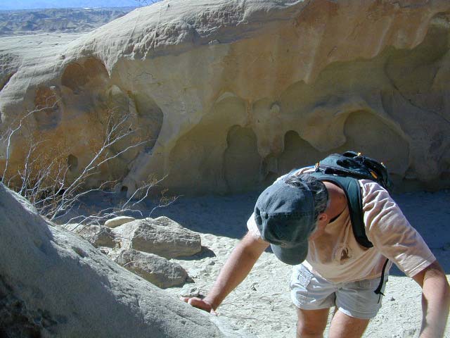
Exploring wind caves in Anza Borrego Desert

wildflower

campsunset

The whole canyon, all to yourself
 

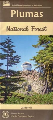
Plumas National Forest Map

Plumas Forest Map

Plumas NF map

Northern Sierra Nevada Mountains, Feather Rivers, Quincy, Blairsden, Bucks Lake, Dixie Mountain, Lake Davis

(see wildfire notes below)

GPS: Longitude & Latitude; Rivers, Creeks, Peaks, Elevations, 4WD & every dirt BackRoad, Hot Springs, Equestrian Areas, all Campgrounds, Hiking Trails & BackPacking Trailheads.

Areas include: Northern Sierra, Quincy, Blairsden, Buck’s Lake Wilderness, Dixie Mountain State Game Refuge, Mount Hough, Lake Almanor, Lake Davis, Lakes Basin Recreational Area, Little Grass Valley Reservoir, New Bullards Bar Reservoir, Sly Creek Reservoir, Lake Oroville, Gold Lake, Butte Valley Reservoir, Antelope Lake, Snake Lake, Round Valley, Feather River. ISBN# 9781628114348

Map Size: 36″x 48″ overall / 4″x9″ folded; Printed on waterproof plastic in 2019

Plumas National Forest Map

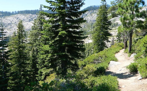
Ridge Trail to Mini Gold Lake, Buck Lake Wilderness

Northern Sierra Nevada / NorCal’s Volcanic Red Mountains
Plumas National Forest

redwood maps

2022 UPDATE: Most of this National Forest has been devastated by recent wildfires. Much of the forest in between Bucks Lake and Oroville is now totally toast. That’s a whopping 50 mile stretch, hence 318,935 acres. Expect campground closures, damaged trails and heavy logging activity. Charred forests also exist all the way around Indian Valley and Lake Almanor, and along Highway 70, east of Quincy, CA

pct

PCT – Pacific Crest Trail is burnt from Bucks Lake to Lassen!

Wild & Scenic Middle Feather River is burnt 40+ miles, from the town of Quincy to Lake Oroville.

Plumas National Forest Map

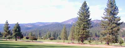
Graeagle Golf, East of Quincy, CA

Wilderness Areas, Lakes & Recreation Areas
hikers maparound Plumas National Forest:

Antelope Lake
Antelope Valley Wildlife Area
Big Bald Rock
Bucks Lake Wilderness
Butterfly Valley
Crocker Meadows Wildlife Area
Dixie Mountain
Dome Trail @ Middle Feather
Feather River
Middle Fork Feather River Map
Frenchman Reservoir

Lake Davis
Lakes Basin Recreation Area
Little Grass Valley Reservoir
Mount Hough State Game Refuge
Sly Creek Reservoir

Plumas National Forest Map

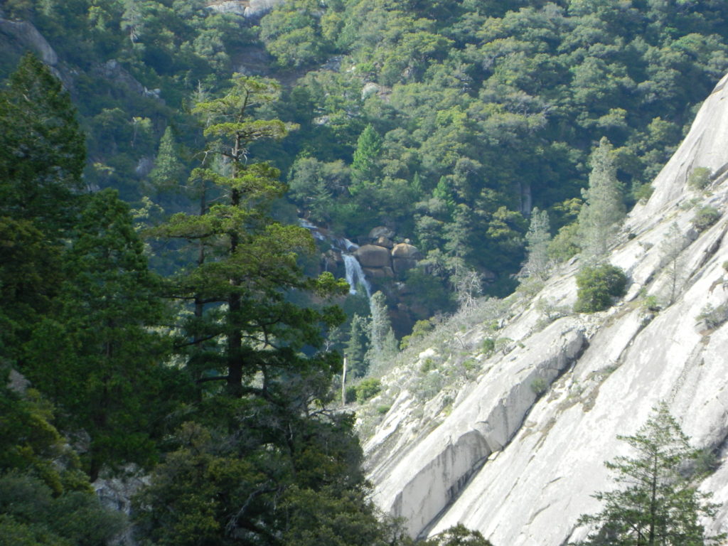
Curtain Falls, from Dome Trail Hike

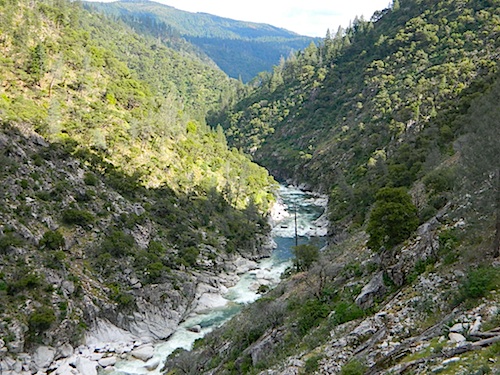
Warning: Neither one of these photos look like this anymore. The Bear Fire wildfire ravaged this canyon of the Middle Fork of the Feather River in 2020.

riverfromtrail

Scenic Middle Fork of Feather River, near Berry Creek, CA

nearby towns:

Plumas, National Forest, Map, Fishing, Hiking, Northern Sierra, Quincy, Snake Lake, Blairsden, Buck’s Lake Wilderness, Dixie Mountain, Mount Hough, Lake Davis, Lake Almanor, Gold Lake California, Lakes Basin Recreation Area, Plumas Eureka State Park, Feather River Fishing, Plumas Forest Camping

see also – Plumas Forest Topo Atlas

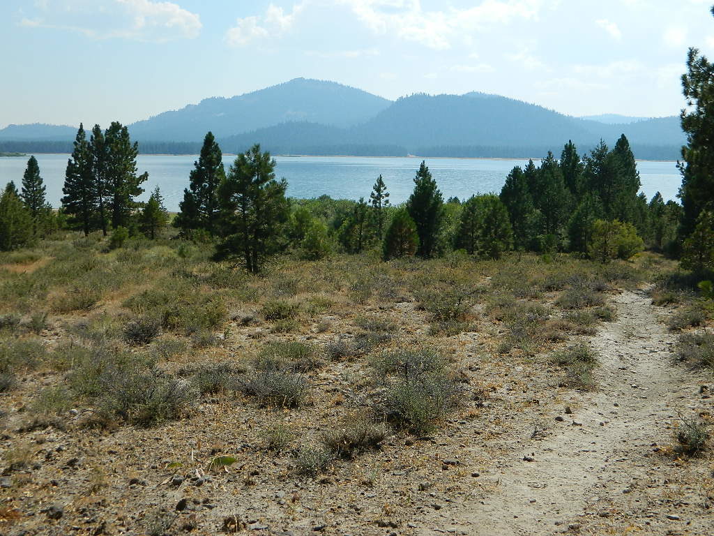
Lake Davis, California

Lake Davis, California


Plumas National Forest Map

Snake Lake Camping, W of Quincy, CA

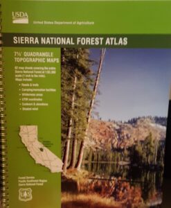
Sierra National Forest Atlas

Sierra NF Atlas

USDA Sierra National Forest
Topo Atlas

Sierra National Forest covers regions from the Lower Kings River, north to the edges of Yosemite National Park. Big rivers, recreational lakes, wilderness trailheads, Sequoia Groves, snowmobiling area and off road routes.

Published in 2017. ISBN# 9781628114270National Forest Maps

Shaver Lake
Huntington Lake
Ward Lake
Black Rock Reservoir
Courtright Reservoir
Coyote Lake 4×4
Wishon Reservoir
Kaiser Wilderness
Dinkey Creek
Dinkey Lakes Wilderness
Mammoth Pool Reservoir
McKinley Grove of Sequoia
Kings River
Red Lake 4×4
Sierra NF – Road #9
San Joaquin River
Mono Hot Springs

Ward Lake

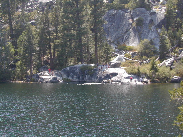
Swimming at Ward Lake 2003

Wildfire has recently ravaged about half of this National Forest, from Shaver Lake to Mammoth Pool Reservoir; Kaiser Wilderness, San Joaquin River, Huntington Lake, all the way out to Lake Edison. Many areas could be closed to logging and fire cleanup. Check with USFS for specifics.
Creek Fire 2020

see also –

Sierra National Forest Map
Kaiser Wilderness Map
Mono Divide Trail Map
Dinkey Lakes Trail Map

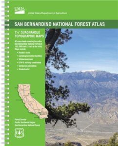
San Bernardino Topo Atlas

San Bernardino
National Forest Atlas USDA San Bernardino Forest Atlas

Big Bear / Lake Arrowhead / Idyllwild
San Bernardino Mountains
Big Bear Atlas Topo

SAN BERNARDINO atlas, is a spiral bound book – a collection of all the quads. (7½ minute topographical maps, of all of San Berdu National Forest) This book map has detailed topo lines, mountain peaks, streams, lakes, hiking trails & back roads. Perfect for all kinds of recreational needs. Southern California, mountain recreation. Printed in 2018 USDA. ISBN# 9781628114300

Forest Falls, CA

Forest Falls LA

Forest Falls – waterfall near L.A.

San Bernardino National Forest QUADS:
from south to north

San Bernardino, Mountains, Trails, Map, Big Bear, Idyllwild, Big Bear Map, Topographical Maps, Topo Atlas, San Gorgonio, Backpacking Big Bear, Hiking, Hike Gorgonio, Mount San Gorgonio; Old Gray Back, Grayback, Greyback, Big Bear 4×4 Trail

San Bernardino Forest Atlas

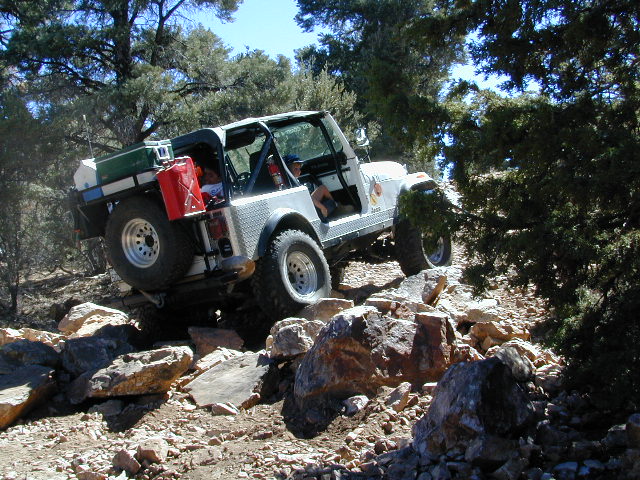
Rock Garden on Gold Mountain Trail, Big Bear, CA


San Bernardino Forest Atlas

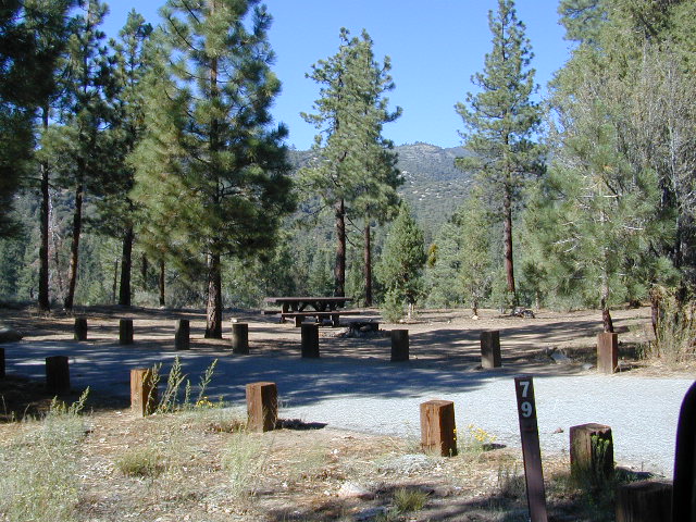
HeartBar Campground, near Mount San Gorgonio

see also –

San Bernardino NF Map
San Jacinto Map
San Gorgonio Map
Big Bear Maps
PCT Map Angeles
Angeles Maps

San Bernardino Forest Atlas

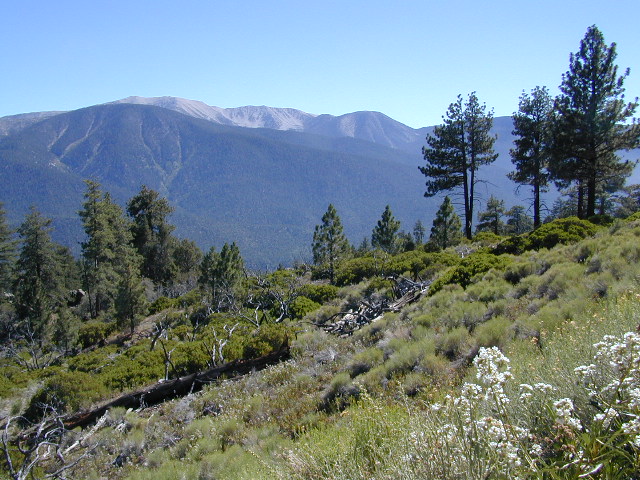
San Gorgonio views, from Forest Road #2N93