San Diego Maps
SoCal Maps – Southern California
Deserts, Inland Empire, Mountains OC, SD
Orange County & San Diego Hiking Maps
From the deserts of Anza Borrego to the shores of Torrey Pines, the rural reaches of Baja California to the coastal foothills of Ortega Mountains (next to Orange County) the San Diego region has plenty of outdoor recreation areas to explore. Backpacking, Camping, Climbing, Hiking, Horseback riding, mountain biking, star gazing and off roading. Find waterfalls to wildflowers with these San Diego Maps listed below.
Anza Borrego Desert Map by Wilderness Press
Baja California Maps
Big Bear Trail Map
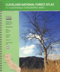
Cleveland National Forest Topo Atlas
Cleveland National Forest Map USDA
Cleveland Forest Atlas
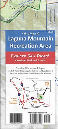
Mount Laguna Trail Map

Pacific Crest Trail PCT Map #1
Pine Creek Hauser Wilderness Map
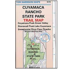
Rancho Cuyamaca State Park Map
San Diego Backcountry Map by Tom Harrison
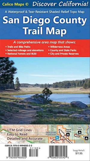
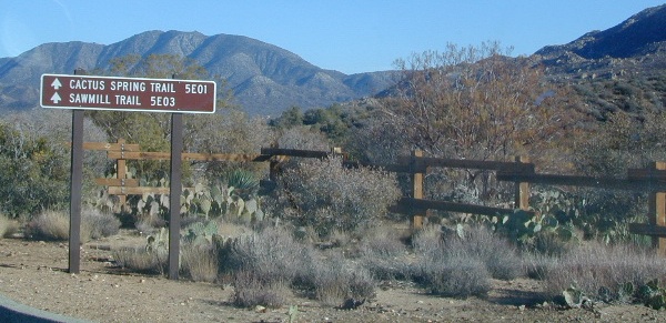
San Diego County Trail Map

San Diego County covers a very large area with incredibly varied topography. The western half of the county is mostly urbanized, and includes the city of San Diego and its many suburbs to the south, east, and north. The climate of the western half is more moderate, due to its proximity to the ocean, giving San Diego its signature weather. The eastern half of San Diego County is mostly uninhabited or rural, contains mountains, forests, and lush deserts, and is prone to more extreme weather. Snow is common at Mount Laguna in winter months, while the Borrego desert gets triple digit heat during the summer time.