San Gabriel Mountains Map

San Gabriel Mountains
Topo Map Angeles

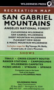
hikerWilderness Press makes this map specific to the San Gabriel Mountains, located high above the Los Angeles Basin, overlooking the southland. Numerous day hikes, backpacking trailheads, developed campgrounds, and back roads are displayed. Map includes the Wilderness Areas in this region, surrounding the Angeles Crest Highway 2.

San Gabriels Map

Campground

Campgrounds along Angeles Crest Hwy 2

see also – camp

Front Country Map
High Country Map
Los Angeles Map NatGeo
Angeles National Forest Map
Cucamonga Wilderness Map
Mount Baldy Map
Mount Wilson Map

Carson Iceberg, Emigrant, Mokelumne Map

National Geographic Trails Illustrated Map for Carson Iceberg, Emigrant, Mokelumne Wilderness Areas – Central Sierra Nevada Mountains

NatGeo Map #807 Carson Iceberg

NatGeo Carson Iceberg

Carson Iceberg Wilderness Map NatGeo 807

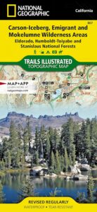
National Geographic makes this Trails Illustrated Trail Map that covers 3 different Wilderness areas inside the Central Sierra Nevada mountains – Carson Iceberg Wilderness, Emigrant Wilderness, Mokelumne Wilderness.

Trailheads, campgrounds, river, creeks, peaks, and alpine lakes. Backpack, camp, climb, fish, and hike. Basically, all the recreation destinations in this region. These regions are CLOSED for snow during winter months and usually only accessible during the summer period.

National Geographic Map 807. Trails Illustrated. GPS Compatible, Full UTM Grid. Waterproof ISBN# 9781566952651

National Geographic Map 807

OLDER EDITION


National Geographic Map 807

Emigrant Wilderness in the Central Sierra

Highland Lakes Trailheads

Highland Lakes Trailheads

Carson Iceberg Wilderness

Emigrant Wilderness

Mokelumne Wilderness

see also –

Carson Iceberg Wilderness Map
Emigrant Wilderness Trail Map
Mokelumne Wilderness Trail Map
Eldorado National Forest Map
Stanislaus National Forest Map
Stanislaus Forest Atlas

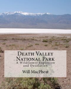
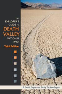
Death Valley Books

Death Valley Road Trip, Camping Death Valley National Park, Mojave Desert California

Death Valley Books

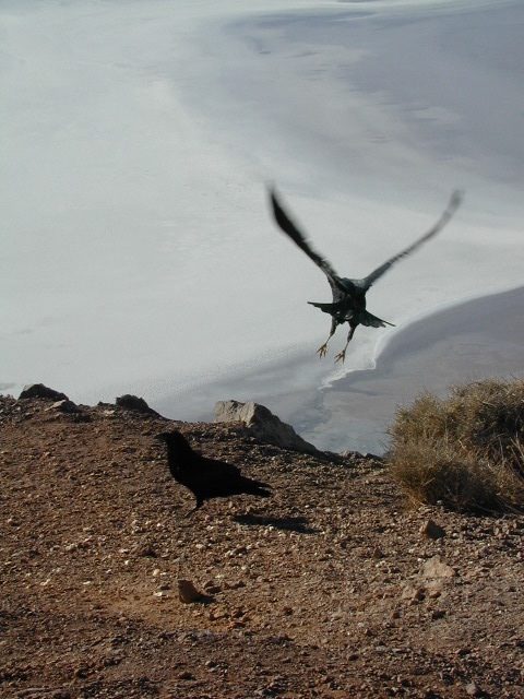
Dante’s View, DVNP

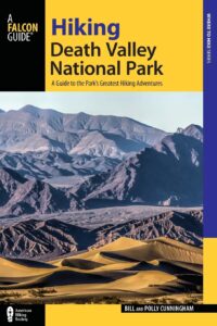
Hiking Book DVNP

Moon Death Valley Book

DVNP Photographers Book

Off Road Death Valley

wildflowers death valley

Death Valley is a desert valley in Eastern California, in the northern Mojave Desert, bordering the Great Basin Desert. It is one of the hottest places on Earth.

Bad Water

The Badwater Basin is the point of lowest elevation in North America, at 282 feet below sea level. It is located 85 miles east-southeast of Mount Whitney, the highest point in the contiguous United States, with an elevation of 14,505 feet.

Tallest Peak

The highest point in Death Valley National Park is Telescope Peak, in the Panamint Range, which has an elevation of 11,043 feet. This is one of the few spots that you can see the lowest point and the highest peak in the lower 48 states.

Lying mostly in Inyo County, California, near the border of California and Nevada, in the Great Basin, east of the Sierra Nevada mountains, Death Valley constitutes much of Death Valley National Park and is the principal feature of the Mojave and Colorado Deserts Biosphere Reserve. It runs from north to south between the Amargosa Range on the east and the Panamint Range on the west; the Grapevine Mountains and the Owlshead Mountains form its northern and southern boundaries, respectively. It has an area of about 3,000 sq miles.

Desert Climate

Death Valley has a subtropical, hot desert climate, with long, extremely hot summers; short, mild winters; and little rainfall.

The valley is extremely dry, because it lies in the rain shadow of four major mountain ranges (including the Sierra Nevada and Panamint Range). Moisture moving inland from the Pacific Ocean must pass eastward over the mountains to reach Death Valley; as air masses are forced upward by each range, they cool and moisture condenses, to fall as rain or snow on the western slopes. When the air masses reach Death Valley, most of the moisture has already been lost and there is little left to fall as precipitation.

Explore Death Valley

Geology of Death Valley

ghost towns death valley

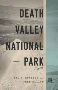
History of Death Valley

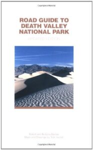
Road Guide DVNP

see also

Death Valley Topo Map
Benchmark California Atlas
Inyo National Forest Map
Inyo Forest Topo Atlas
Jawbone Canyon Map

US 395 map

Amargosa Opera House @ Death Valley Junction

Death Valley Books

Cucamonga Wilderness Map

Cucamonga Wilderness Map

USDA Cucamonga Wilderness Map

2024 update: USGS may actually have this older paper map

hikers map

alternate map:

San Gabriel Mountains Map
by Wilderness Press

w/ Cucamonga Wilderness, Sheep Mountain Wilderness, San Gabriel Wilderness and Magic Mountain Wilderness

Cucamonga Wilderness Hiking Map, Angeles National Forest, San Gabriel Forests, Lytle Creek Routes, Mount Baldy Ski Area, West Baldy, Devils Backbone, Mt. Baldy Trails, Manker Flats, Stockton Flats, Mt. San Antonio, Telegraph Peak, Icehouse Canyon, Thunder Mountain, Timber Mountain, Cucamonga Peak. Waterproof plastic map.
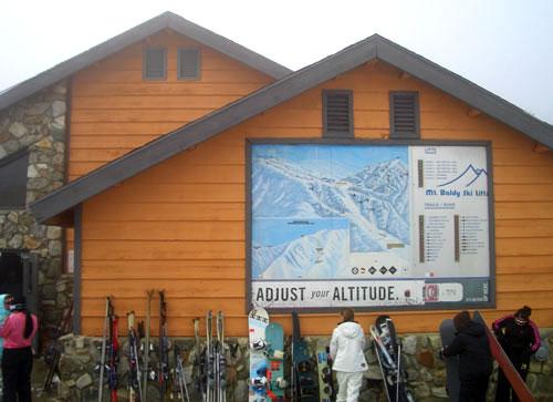
mount baldy ski lodge

Mt Baldy photo by Chris DiNenna

trails

Hiking trails reach the summit from four sides of the mountain, and one route can be completed with assistance from the nearby ski lift. The trails vary in difficulty, and there are plenty of options for novices, as well as experienced hikers.

Mt. Baldy Notch – (3.5 miles one way): The trail begins at Manker Flats, where the Baldy Notch Service Road can be taken to the notch. The trail provides scenic views at the notch, and other trails ahead.

Devil’s Backbone – (3.2 miles one way from Notch: A service road at Mt. Baldy Notch leads to the Devil’s Backbone trailhead and continues to the main peak.

Mt. Baldy Trail – (6.5 miles one way to Mt. Baldy Summit): This is the oldest and longest trail to the summit. Because it starts at Mt. Baldy Village, it has almost 6000′ of elevation gain.

Icehouse Canyon – (3.7 miles one way): The Icehouse Canyon trail begins in the parking lot at Icehouse and goes all the way up to Icehouse Saddle where a number of trails can be taken either to the Notch or to nearby peaks such as Ontario and Cucamonga. (5.5 miles).

Ski Hut Trail – This trail follows the east side of the San Antonio Creek canyon to a small backcountry ski hut owned by the Sierra Club. A use trail continues around the left side of the bowl and then to the summit.

Three T’s – (5.3 miles one way): The trail starts and ends at the Icehouse Canyon Trailhead. It leads to views from the summits of Thunder, Timber and Telegraph Mountains.

hikers map

see also –

Angeles Crest Maps
Angeles National Forest Map
Angeles Forest Atlas
PCT Map #2 
San Gabriel Mountains Map